At PicsMatic, human-powered real estate aerial photo editing helps realtors and marketing agencies gain a competitive edge by transforming average aerial property shots into real estate marketing assets. Our team of aerial photo editors is proficient in using industry-leading photo editing software such as Photoshop, Lightroom, and Photomatix. We follow a collaborative approach and make real-time adjustments to ensure quick & secure deliveries, regardless of project complexity or deadline-oriented volumes.
As a trusted drone image editing service provider, we go beyond automated filters and tools to enhance the clarity, color, and composition of aerial shots. Utilizing our human-in-the-loop approach, which combines the use of the latest tools & software and human expertise, we offer multi-tiered real estate aerial photography editing services, including:
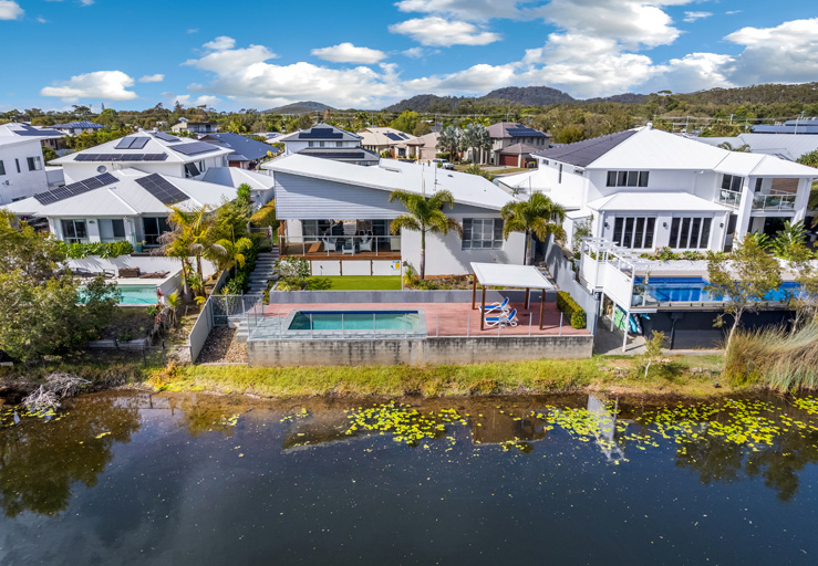
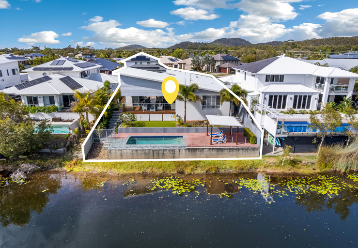
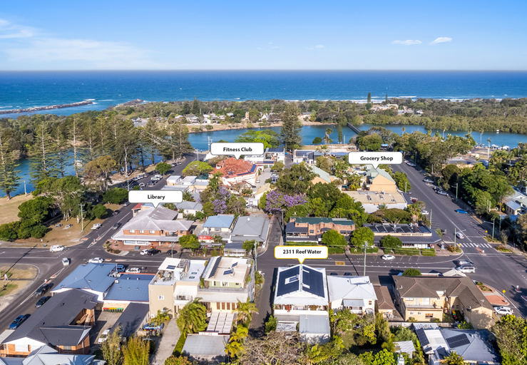
We utilize advanced image labeling tools and aerial location markers to add drop pins (serve as visual indicators) to your real estate photos, providing a better understanding of the property's location, nearby landmarks, and other amenities. We accurately label popular attractions near your property and other specified characteristics to add more relevant information to your real estate listings.
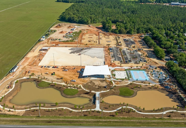
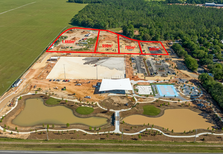
We assist realtors in providing a clear view of a property with our detailed aerial layout mapping and site plan rendering services. Leveraging hands-on experience with tools like CAD, our real estate photo editing experts combine aerial photos with site development plans, providing potential buyers a clear understanding of the property's topography, infrastructure, and features.
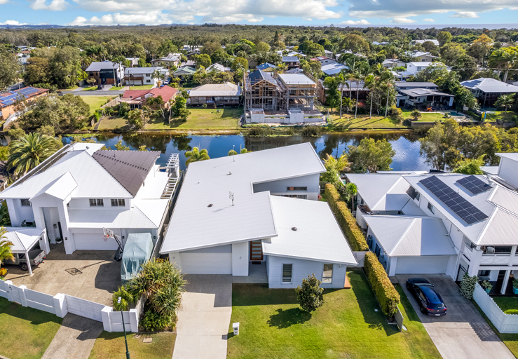
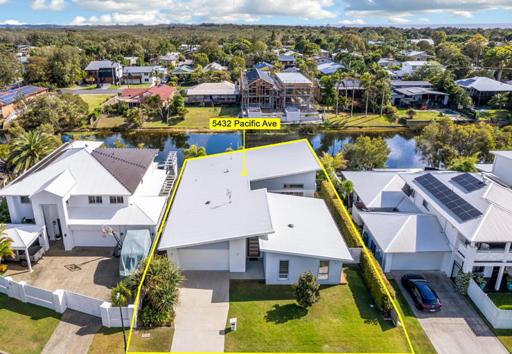
We help realtors advertise several areas/subdivisions across a single piece of land by editing real estate drone photos to highlight the land's boundaries, size, and characteristics. With site land framing solutions, we can customize overlay colors and styles to meet the needs of real estate advertisers who often ask for clear land delineation in the images.
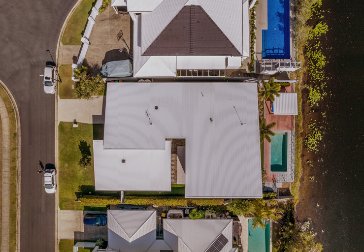
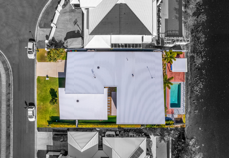
Poor lighting conditions or a low-quality camera lens can lead to issues such as color casts, hues, tints, noise & grain, and white balance in real estate photos. We utilize advanced color correction techniques and tools to rectify such issues. Our aerial photo editing experts understand color theories and utilize professional color-balancing methods to restore natural tones and luminance.
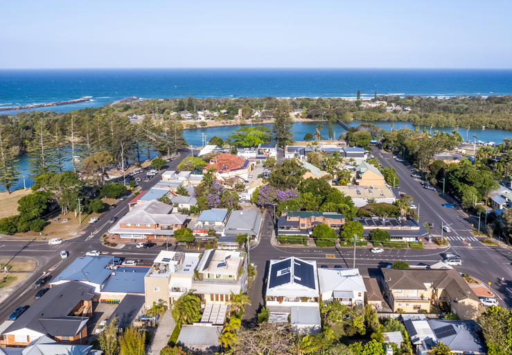
Drone photography often captures skies that appear brighter than the surrounding landscape, causing details to be lost. Our photo editors can replace the bright, overwhelming skies in drone photographs with better sky representation. We also adjust background lighting to balance and enhance real estate photos, regardless of shooting conditions.
These reviews from our clientele are evidence of their satisfaction and our expertise in professional image editing.